It was one of the activities that I planned for this trip, which is to do return cycling trip from Rapahoe to Lake Brunner within two days (which finally done in three days). This was my first time doing a long distance cycling which is in total distance about 170km. I rented a bike from Wild West Adventure Greymouth for four days.
First Day (10 July 2012)
The destination of the this first day is Jacksons. Jacksons is a small settlement at the southern part of Lake Brunner and I will going to stay there overnight before heading to Lake Brunner the day after. The total distance between Rapahoe and Jacksons is about 75km.

Distance travelled for the first day, Rapahoe (A) to Jacksons (B).
I left my cabin around 7am in the morning. Since it was winter that time, it is still dark so I put on my high visible vest and cycling light.
Taking picture before cycling. I only brought two things with me; my camera bag with few clothes and a tripod.
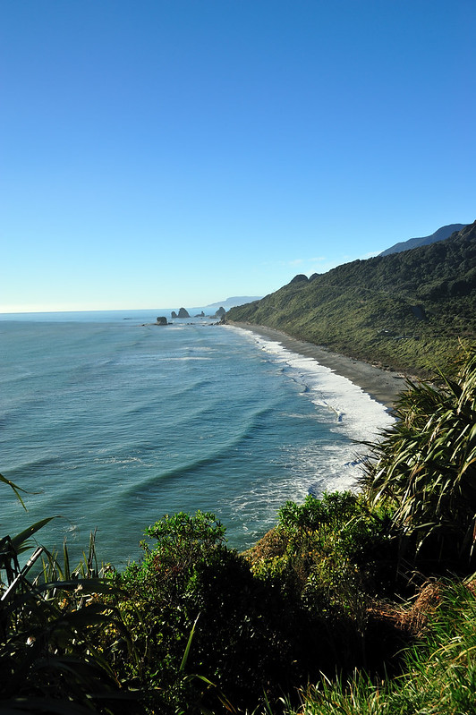
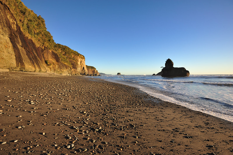
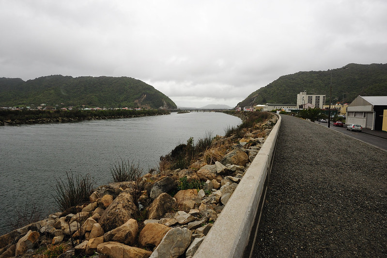
Scenery alongside the road from Rapahoe to Greymouth.
In order to know the current location and distance from one place to another, I used a topo map and compass. Probably much better if I have a smartphone, but unfortunately I did not. It might be not useful that time since there are no phone coverage and the battery could get flat much faster during this cold condition.
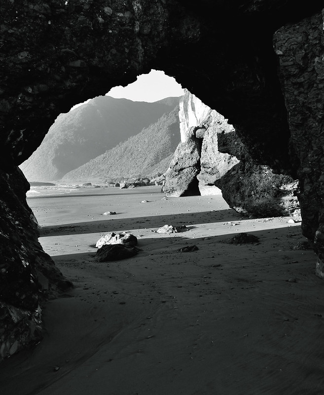
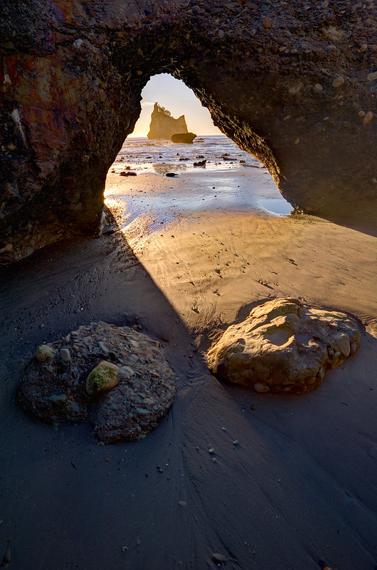
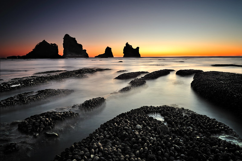
I usually stopped around for short break after cycling 10-20km and that time I took couple of shots around.
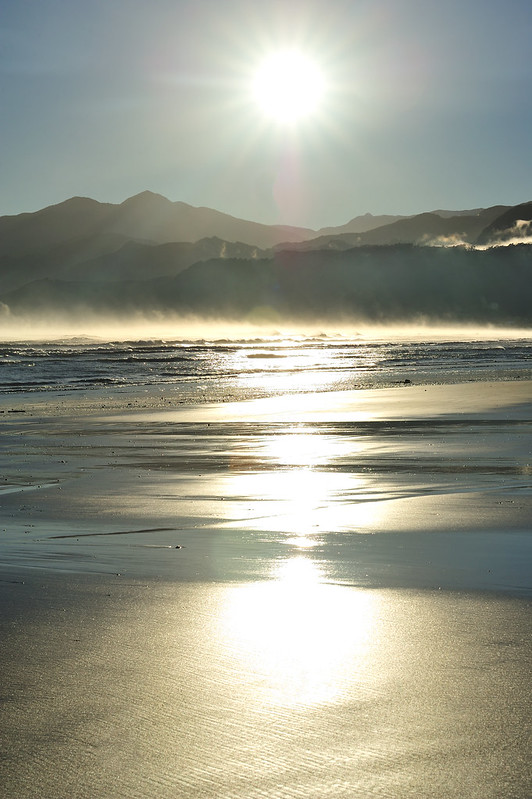
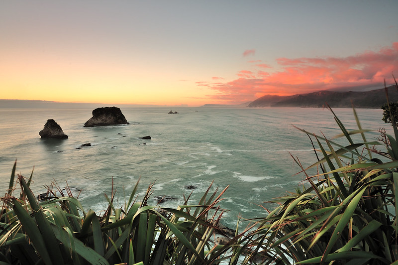
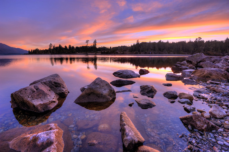
View of Grey River during sunrise.
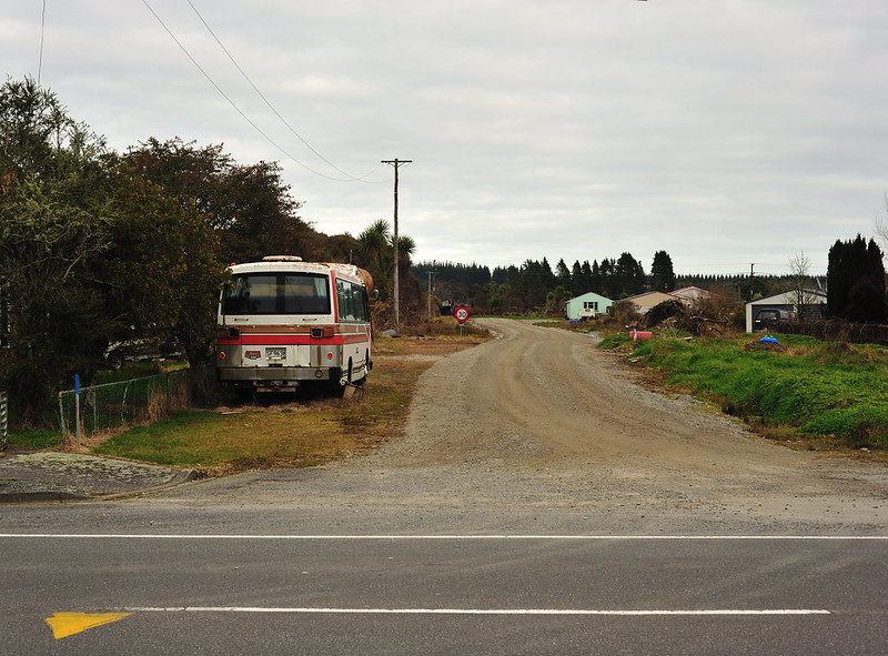
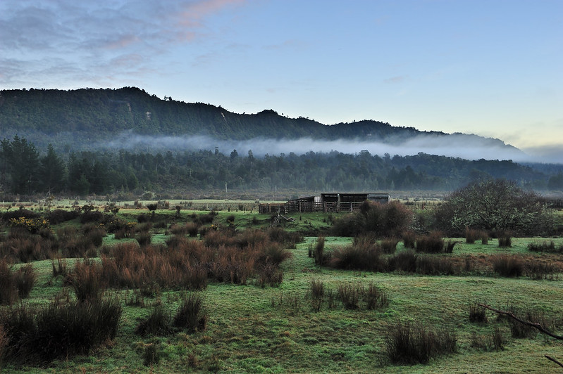
Most of the settlements I went through are in the countryside area. Most of the people living here are working in the farms or mining area nearby.
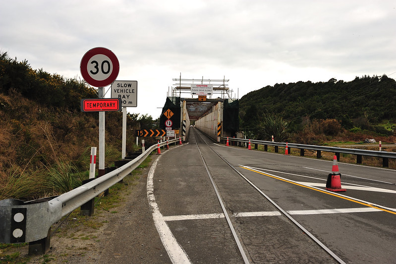
This is quite unique ; A shared bridge of road and railway.
The last 40km cycling from Kumara to Jacksons was pretty hard and tiring for me. This was due to the road that are ascending uphill and not that flat all the way. Plus, when I reached a vast, open area of the Taramakau River plain, the hot weather and direct sunlight made me stop quite a lot to have a rest.
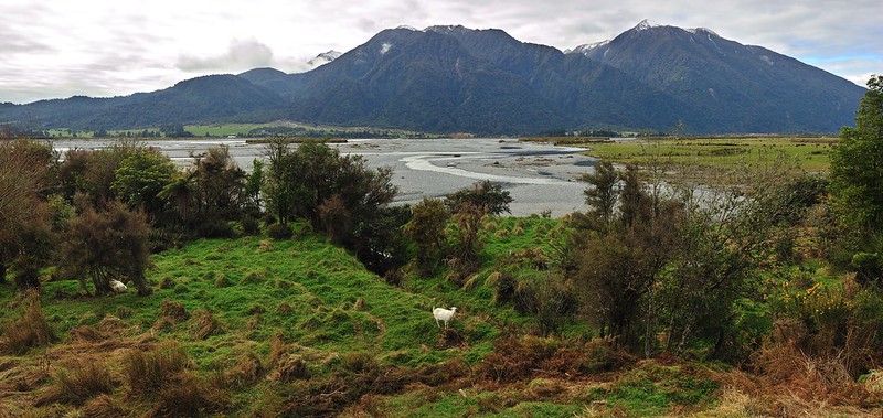
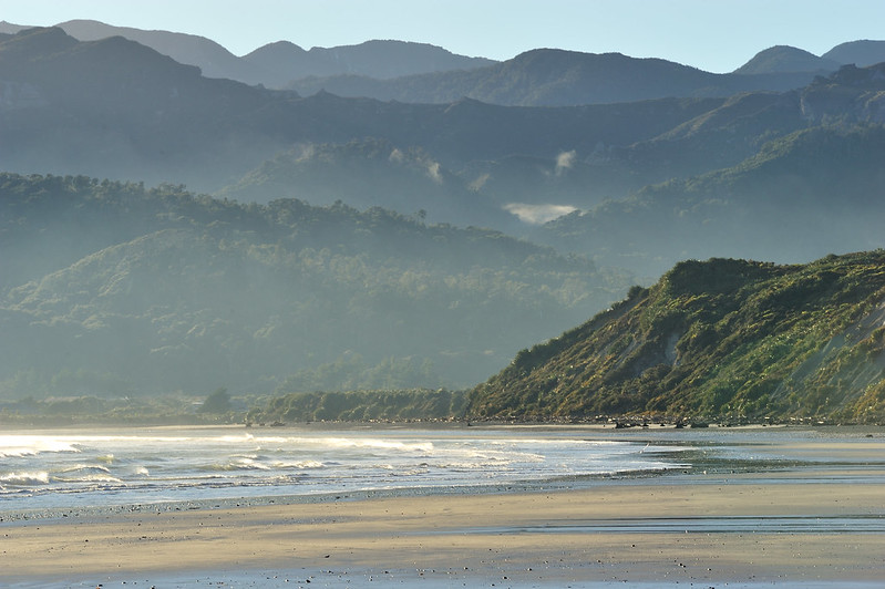
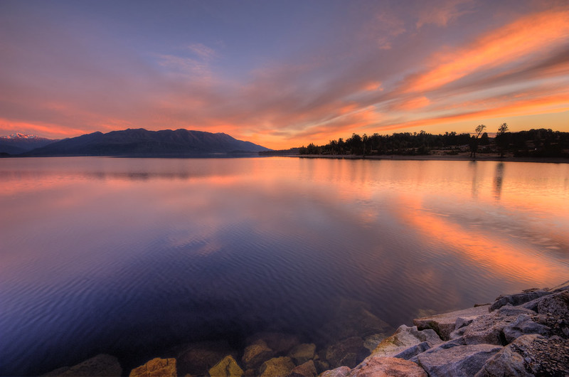
View around Taramakau River.
So vast. I seen a helicopter went across the river and it looks so small when it reached the other side of the river, showing how big this area of.
Finally, at about 4pm I reached Jacksons safely. Here, I was staying overnight at Jacksons Retreat. It is a camping site that located just opposite of the junction to Lake Brunner that I am going to go the next morning. There are a lot of facilities here like toilets, bathroom, a common room equipped with kitchen and many more. Because of the limited space that I have, I did not bring my sleeping bag and tent but I rented it here.The price was not bad, which is NZD35 per night.
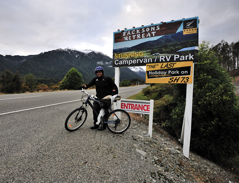
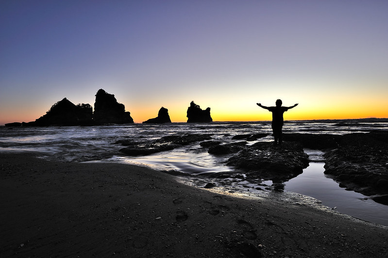
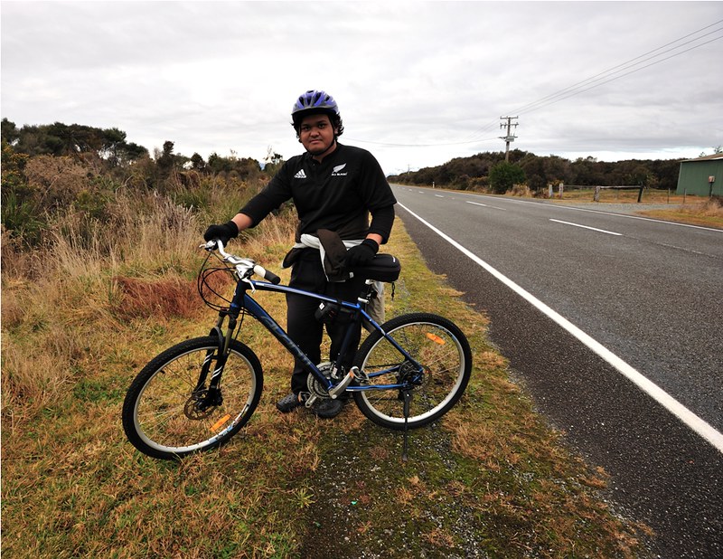
Pose after finished the cycling for this day.
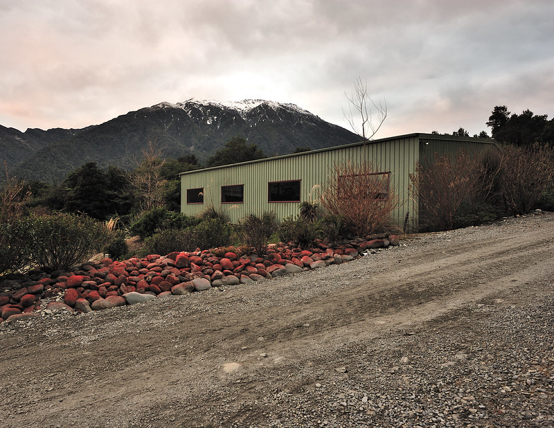
One unique things about this campsite that it has a barn as a place for tents and campervan. This is quite helping during the time where heavy snowdump or during raining season.
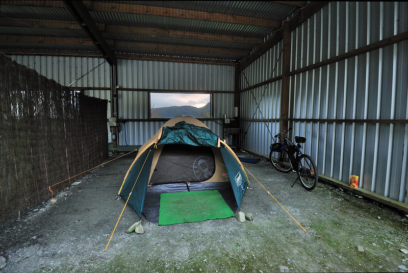
Ready to go to sleep.
After solat and a brief dinner, I slept early that night due to the tiredness and I need sufficient rest so that I could start cycling again tomorrow around Lake Brunner.
Second Day (11 July 2012)
Map below shown the cycling route that I did for the second day:

Total distance travelled for the second day : 56km.
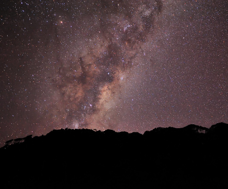
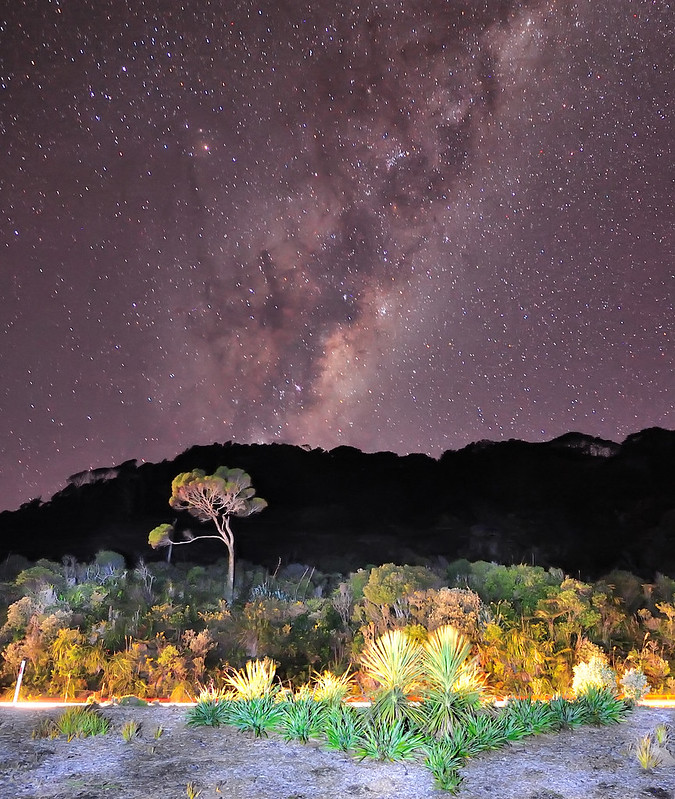
I woke up around 7am. While I am inside tent, I heard sounds like there was raining heavily outside. I also noticed that the canvas on the opening side was kind of wet. But when I went out, it was no raining at all and stars could be clearly seen. I discovered that the raining sound was actually came off from the streams around the campsite and the canvas was wet probably from condensation.
After solat and self-cleaning, I started cycling around 7.30am. The first light can be seen on the sky so I hurried up cycling in order to catch up the sunrise at Lake Brunner.The distance from Jacksons to Mitchells (nearest settlement at southern part of Lake Brunner) is about 17km. There was farmland on both side of the road.After about 10km cycling, I found that the sunlight disappeared and there was mist that time which limiting the viewing distance. Occasionally I met with big truck and cars that passed by that road so I need to be careful.
Within last 5km of the cycling to Mitchells, the sealed tarmac road changed into a gravel, narrow road. The farmland surrounding was also changed into thick forest. To be honest, I felt kind of scary due to this foggy conditions and also since there were no people and vehicle around there.But, being motivated to catch great images at the lake, I braved myself and continue the cycling.
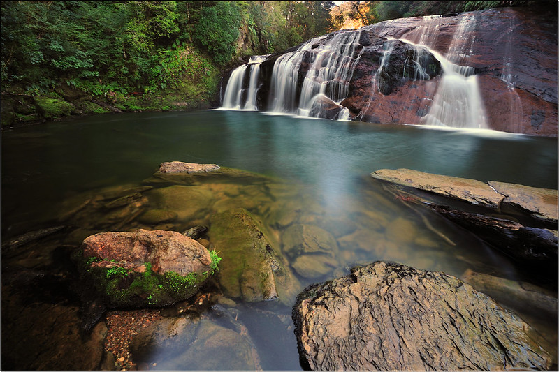
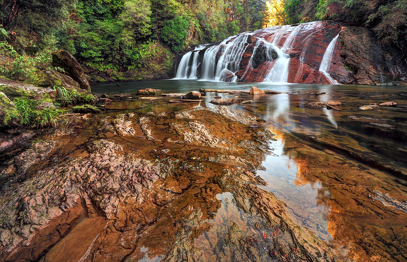
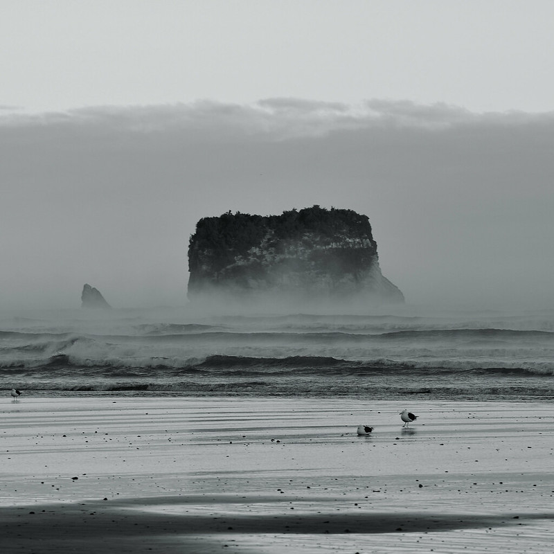
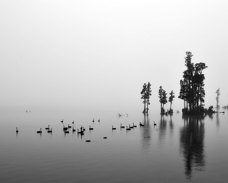
Finally, after riding in the fog and surrounded by jungle, I managed to reach the shore of Lake Brunner. It was this moment where I found a group of trees called "Kahikatea trees" that live on the water, plus a group of swan cruising nearby. I went off my bike and discreetly going down to the shore to take the pictures below:

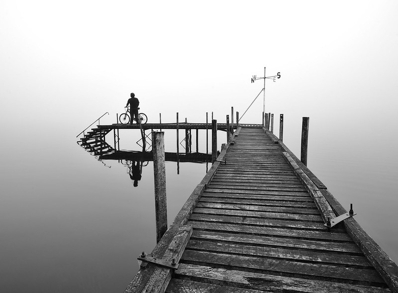
After taking few more shots there, I continue cycling to Mitchells. Fog was still dense so I keep cycling slowly.After about half an hour, I reached an area where there is a huge mansion beside the lake. It feel strange as that huge mansion seemed abandoned.
There is a boathouse with a jetty in front of that mansion. So I stopped and bring my bike on the jetty. After doing some evaluation on the composition of the jetty, I made few shots. One of them was putting me and my bike as the subject. Initially, I want to put a 10 second self timer, but I was afraid that the jetty gonna collapse since I am going to quickly run to my bike. So I used intervalometer instead and take few shots. After all, the picture below is my favourite :
I continue cycling. According to the initial plan, I was supposed to cycling from Mitchells to Kumara where I can get back to Greymouth that evening. But since the road conditions were too bad and I feel so exhausted cycling on this kind of road, so I decided to head back to Inchbonnie and then take turn to Moana in the northern part of the lake.This is why I spend three days instead of two as I was staying another night there at Moana.
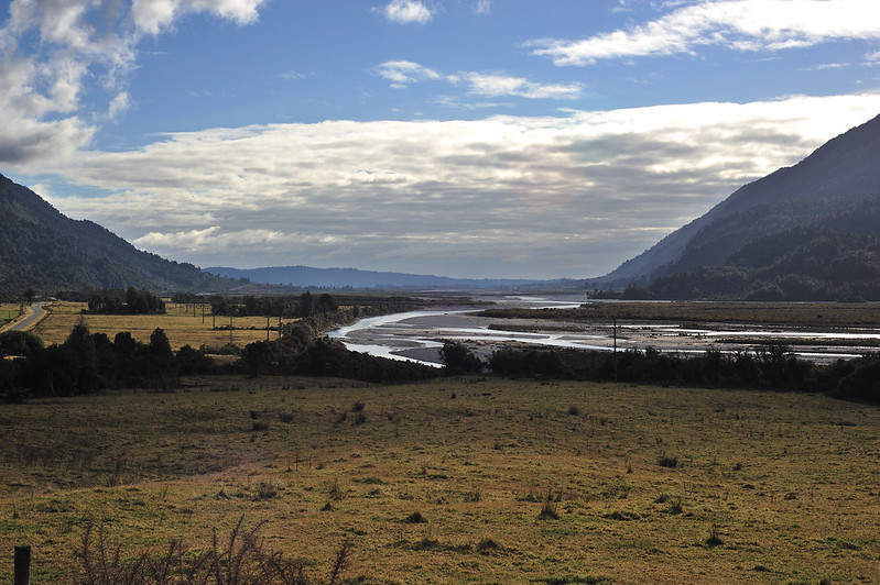
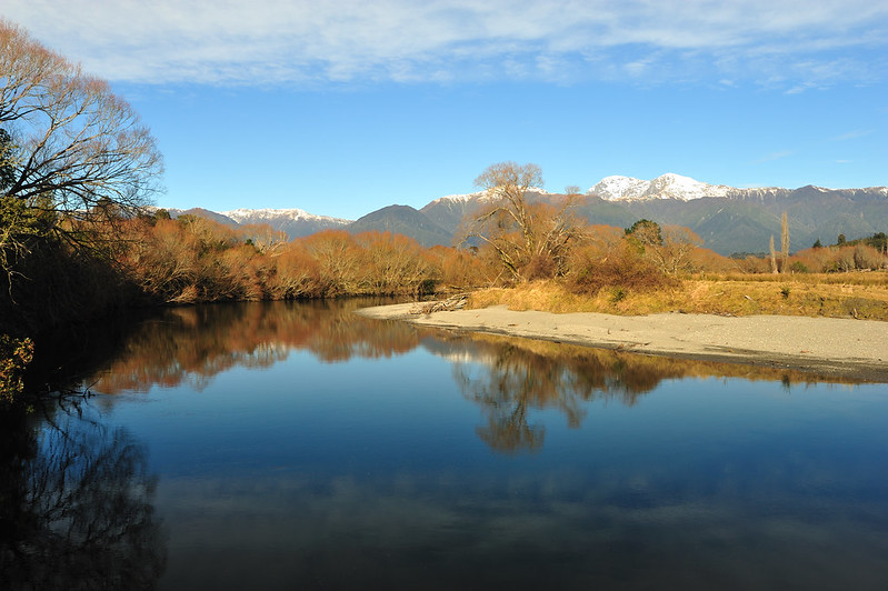
The journey to Moana from Mitchells is about 30km and since the road was sealed so it was ease. The only things that made me exhausted was the dehydration. Just about I reached Lake Poerua, the fog was clearing and it was direct sunlight with quite warm temperature. So I made couple of stops to rest.
I did not take much pictures except when I reached the final settlement before Moana, which is Te Kinga.
Picture taken at Te Kinga.
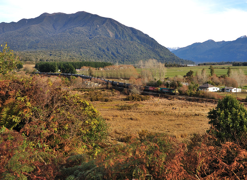
Train from Christchurch I think, making way to Greymouth.
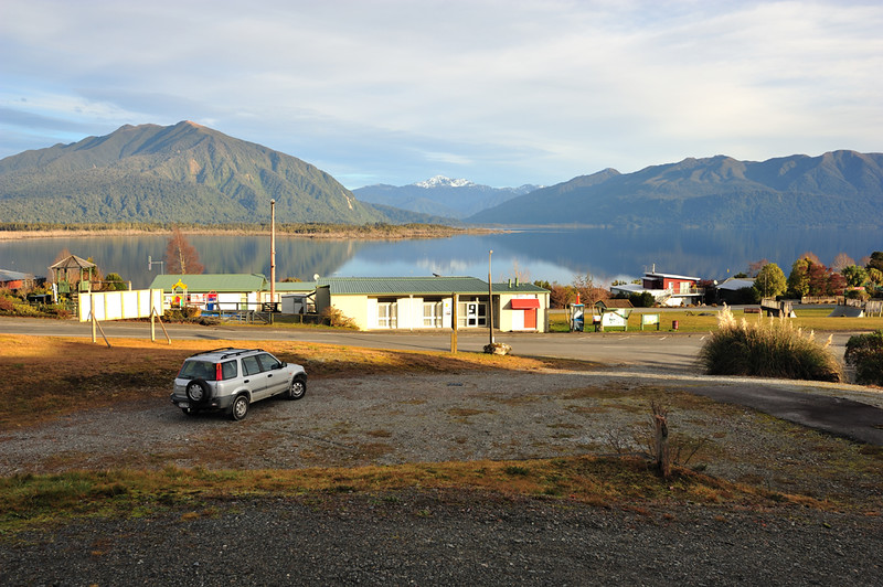
Finally, I reached Moana just before sunset. I wandering around to find a place to stay. I was lucky since I managed to find a cabin to rest that day. It was at Moana Hotel. The best things there was that it is near to the lake shore and I had a chance to make few shots of the sunset there.The price was good (probably because it was off-peak season), which is about NZD22.
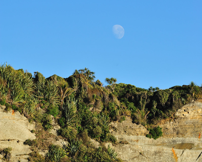
View from my cabin.
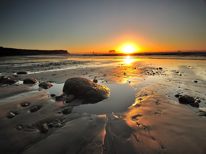
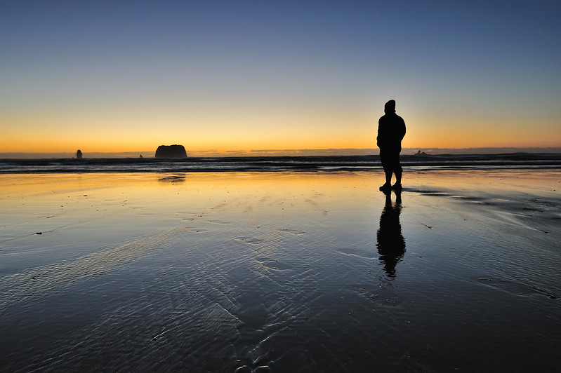
Sunset at Moana. Beautiful.
After finished here, I went back to my cabin, having a hot shower before getting out to the pub nearby for dinner (that's the only place I have to eat). Like the day before, I went to sleep early as I have another 35km cycling to be finished before reaching Greymouth the next day.
Third Day (Last Day of Cycling Trip) - 12 July 2012.
I woke up as early as 6am for shower and solat before started cycling again.

Distance from Moana to Greymouth is about 35km.
Since the hotel reception is only open at 3pm, I put the room's key into the mailbox outside the hotel. It was still dark that time so I put on my high visible vest and cycling light.
The road back to Greymouth from Moana was quite good since it is flat and not much hilly area. I did not take any pictures this day since my intention that time was only to get back to Greymouth safely. It was also raining heavily that day so I put my raincoat on.
After two hours cycling, I reached at a place called Stillwater. This is where the junction to Greymouth is and there was only 15km before I finished this cycling trip.
Alhamdulillah, finally at 11.30am I reached Greymouth safely thus ending this cycling trip. I returned back the bike that I rented to Wild West Adventure Greymouth and returned back to Rapahoe with cab.
Final Day at West Coast, Friday 13rd July 2012
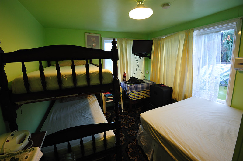
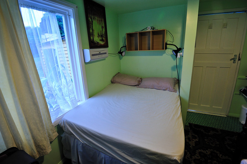
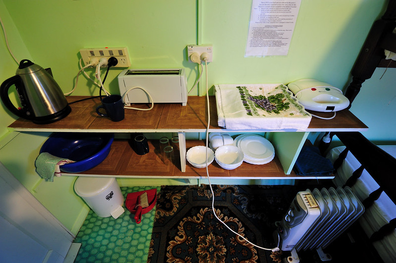
Although the checkout time is at 11am, but I woke up earlier that day and packing up stuff after Fajr prayer. Also I need to clean up my room since this is not a serviced accommodation and everything need to be done myself (that explained why it is so cheap to stay here).
Like the previous day, it was raining heavily that morning. After finished packing up stuff and settled the payment, I finally left for Greymouth. The owner of the place, Peter Fletcher was kind enough to give me a ride back to Greymouth with my stuff.
Will come back here one day.
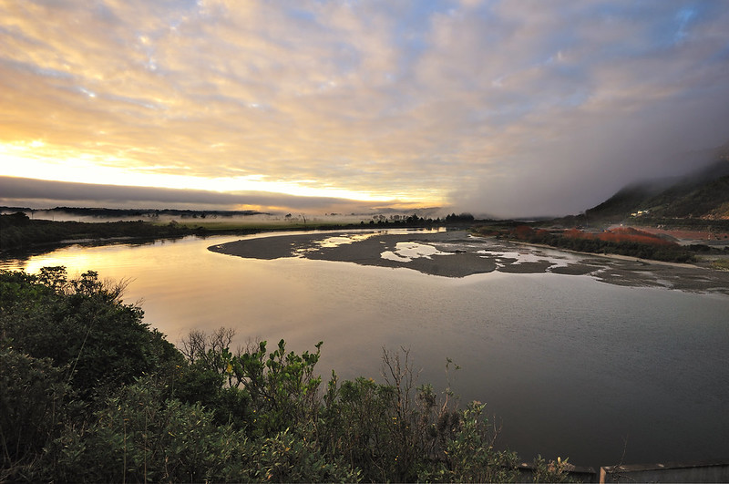
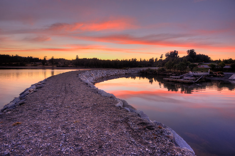
The Grey River that day.
Here, I met with one of my photography mates, Munzer Shamsul. He was on his trip around South Island as well and that time he was stopped by Greymouth after taking Tranz Alpine train from Christchurch. He later on headed up to Nelson and going northwards to North Island.

Me with Munzer. Picture courtesy of him.
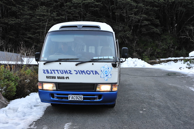
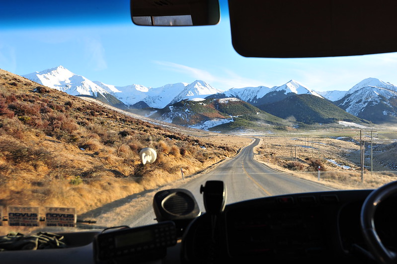
I left Greymouth for Christchurch at 1.30pm with the same Atomic Shuttle that I ride with during the first day of the trip. The weather was not changing. It was heavy raining with strong wind struck over the region up to the Southern Alps Range. Shuttle stopped for a while at one of the skiing fields to pick up few passengers. Also another stop was at Arthur's Pass for 15 minutes.
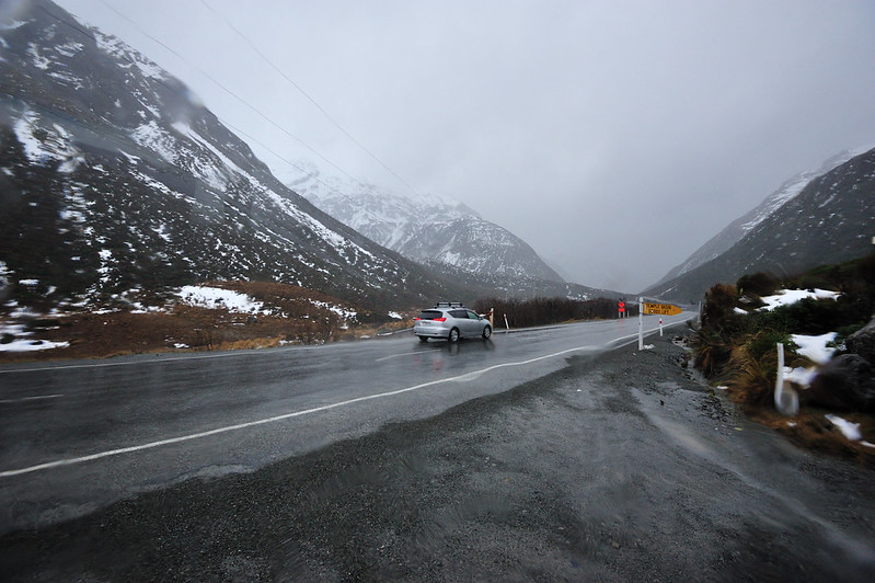
The view alongside the road to Christchurch at Southern Alps Range. It was heavy raining that time.
Alhamdulillah, finally I arrived safely at Christchurch thus ending this trip. Here I was staying overnight at my friend's house and went back to Palmerston North tomorrow morning.
Insya Allah, if there are times and chances again in the future, I will be travelling again to some other places around New Zealand or around the world. Thanks everyone who read this entry and the first part for your time.
I hope you guys enjoy reading these :)